
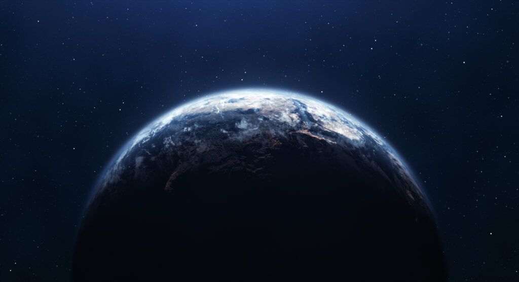
Bombshell U.S. tsunami warning explained.
Scientists have issued a chilling alert about a 1,000-foot-tall wall of water that could engulf American shores without warning.
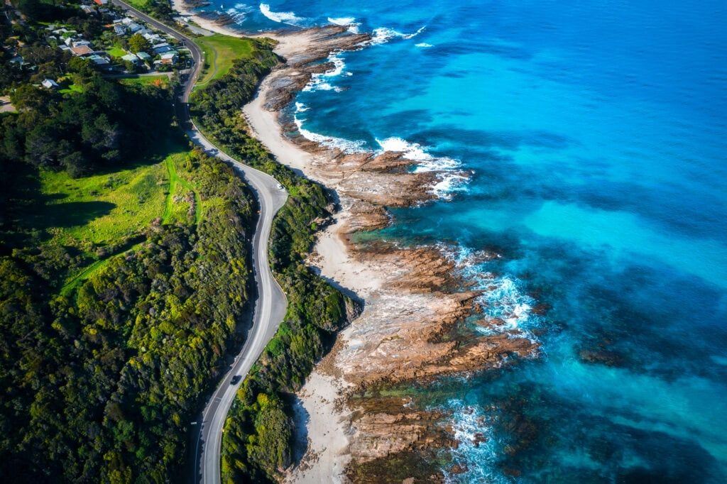
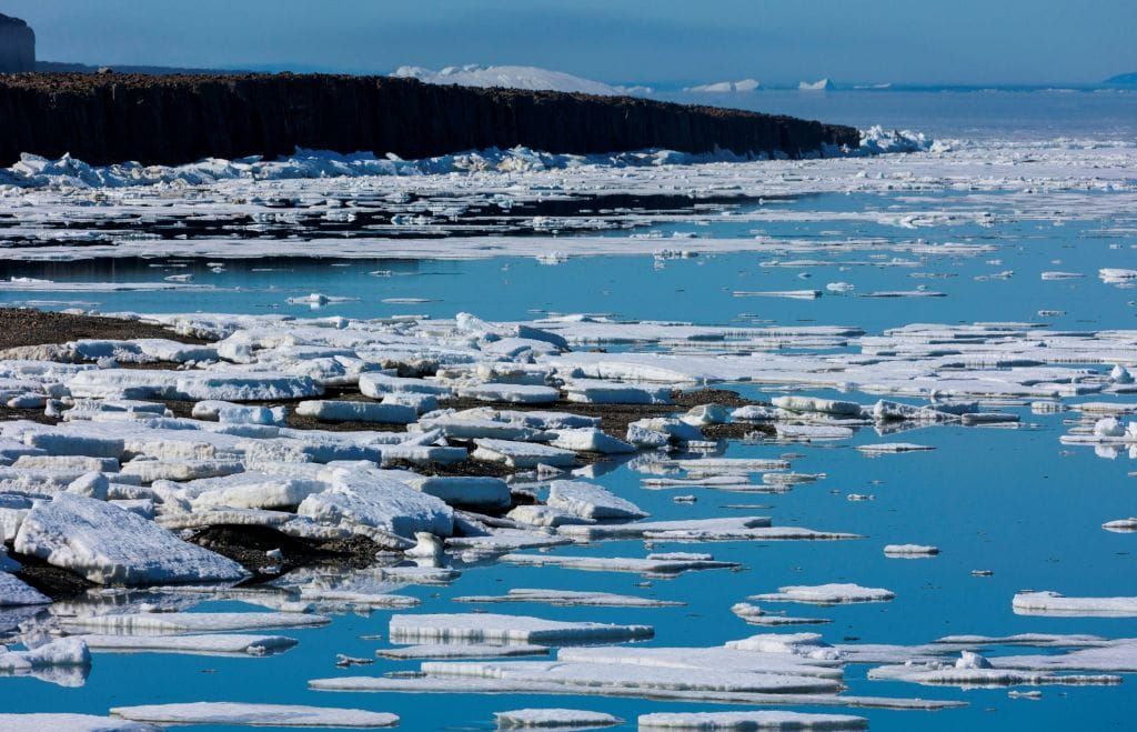
History of tsunamis highlighted.

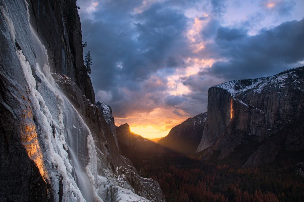
The deadliest tsunamis in history didn’t announce themselves — they struck suddenly and left no time to flee.
In 1958, Alaska’s Lituya Bay saw a wave nearly 1,720 feet high — taller than the Empire State Building.
That tsunami was triggered by a landslide — a slab of rock smashing into the sea at hurricane speed.
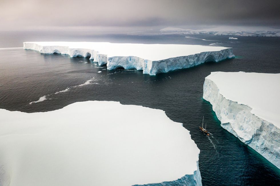
In Hawaii, around 105,000 years ago, a collapsing volcano created a wave that hit the island of Lanai with towering force.
These prehistoric mega waves are now viewed as warnings — and they’re not just ancient history.
Today’s active volcanoes, melting glaciers, and plate tectonics are creating the exact same conditions.
Glacial melt is accelerating landslides in the north, while volcanic activity is picking up speed in the Pacific basin.
Just days ago, Kilauea on the Big Island of Hawaii finished yet another eruption — one of many in recent years.
With each eruption, lava stacks on unstable slopes — setting up the perfect scene for a future collapse.
When that happens, millions of tons of rock can crash into the sea, displacing oceans in an instant.
Shocking tsunami threat detailed.
The cause? A deadly cocktail of tectonic fury, rising seas, and unstable earth — all set to trigger a mega tsunami.
This is no Hollywood doomsday fantasy — the threat is very real and potentially catastrophic, according to new research.

The findings come from a team at Virginia Tech, whose study was just published in the Proceedings of the National Academy of Sciences.
At the heart of the danger lies an infamous fault line — long quiet, now stirring in ominous ways.
Impact of tsunami profiled.
It’s called the Cascadia subduction zone, and scientists warn it could unleash a monster quake of 8.0 magnitude or higher.

There’s a 15% chance of that happening in the next 50 years, the report warns — and if it does, the damage could be biblical.
“The impacts to land use could significantly increase the timeline to recovery,” said study author Tina Dura.
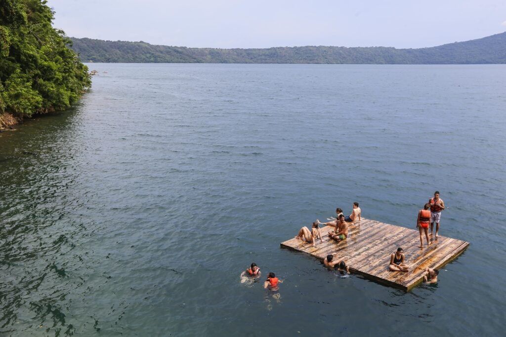
It’s not just about ground shaking — it’s about what follows: a massive wave that could swallow entire towns.
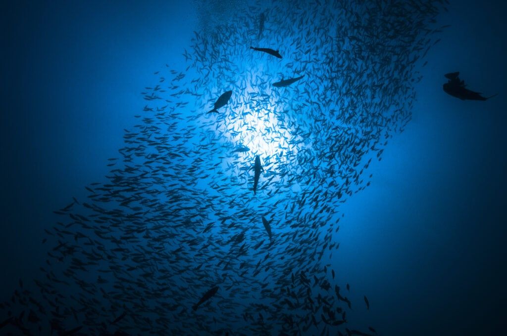
A mega tsunami like this forms when land collapses into the sea, displacing huge volumes of water in seconds.
Earthquakes, landslides, and volcanic eruptions all have the power to create it — and all are increasingly active across the Pacific.
Even worse, the fault line is currently experiencing what scientists call “seismic silence” — a deceptive calm that often precedes chaos.
That same silence preceded the last big rupture — in 1700, when the zone unleashed a tsunami that crossed the ocean and hit Japan.
The risk now isn’t just theoretical. It’s backed by data, history, and ongoing geological shifts.
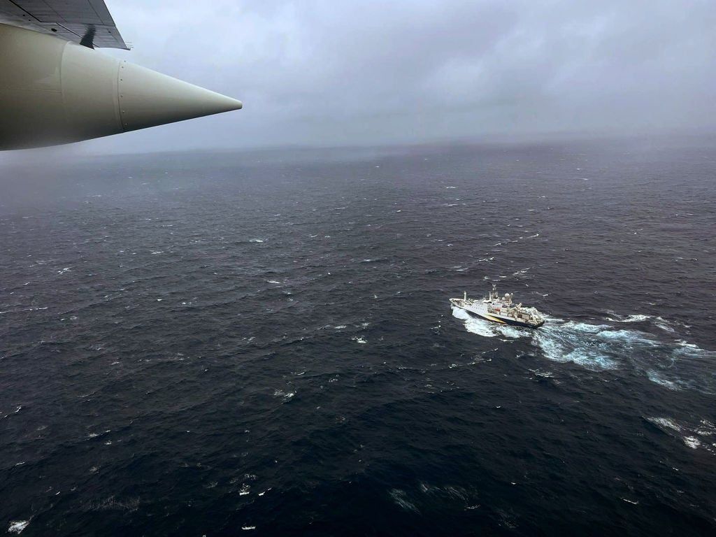
And it’s not isolated to one region — several U.S. states are sitting right in the tsunami’s potential crosshairs.
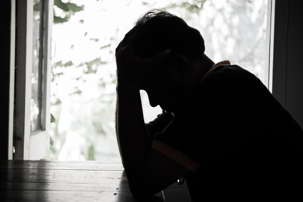
While coastal residents go about their daily lives, the Earth beneath them is building up invisible, explosive pressure.
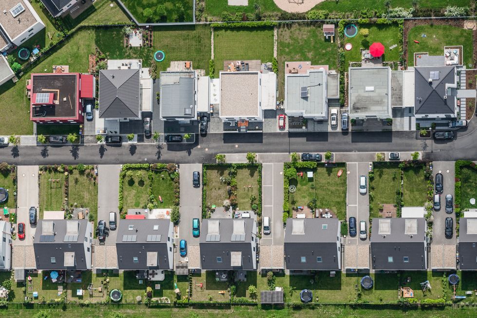
U.S. states impacted by tsunami confirmed.
So where will it strike first? That’s where the science gets terrifyingly specific.
According to the study, the most at-risk areas include zones already struggling with coastal erosion and floodplain expansion.
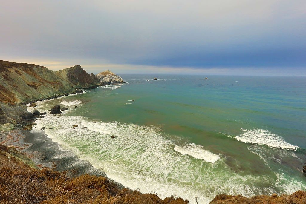
And now, finally, the map has been drawn: Northern California, southern Washington, and northern Oregon are ground zero.
These communities sit directly in the zone of subsidence — meaning when the quake hits, the land will sink, not rise.

“This is honestly where I think the subsidence could have bigger impacts than it has during other recent large earthquakes,” Dura warned.
The truth is brutal: for millions living along these coastlines, the next mega tsunami may already be on its way.